Zoom the real satellite view of the dunes. Tap any marker for details, use the sidebar to jump to camps, gates, and landmarks, and toggle zone overlays with the layers control in the corner of the map.
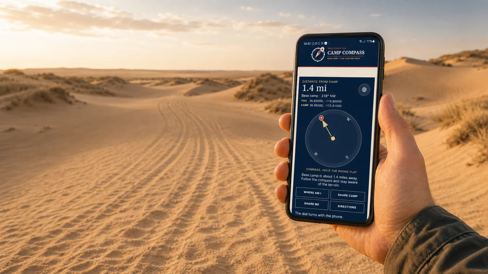
Free safety tool Works beyond the bars
Save camp before you ride. Camp Compass uses GPS satellites to show the distance and direction back, even where cell service disappears. Your marked camp stays on this phone unless you choose to share it.
Set it up before the trip. Installation needs a signal.